Laura's Line: Winter 2024 Mindful Observations
The purpose of biological monitoring on the Nature Reserve is to detect change over time. In order to detect change over time in either a species or a vegetation community, one must make scientific observations. These observations must be done according to a methodology that produces statistically valid results. For species that are listed as threatened or endangered, and therefore by definition not common on the landscape, this can be a challenge. This is where the U.S. Fish and Wildlife Service, the SSHCP Science Panel and contracted experts help us decide what is the best methodology to use for any given species or vegetation community.
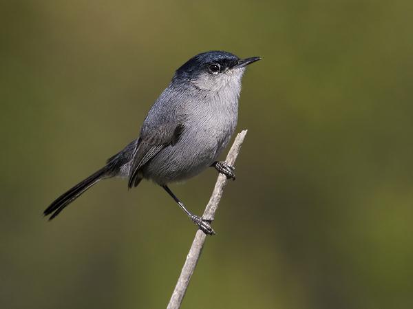
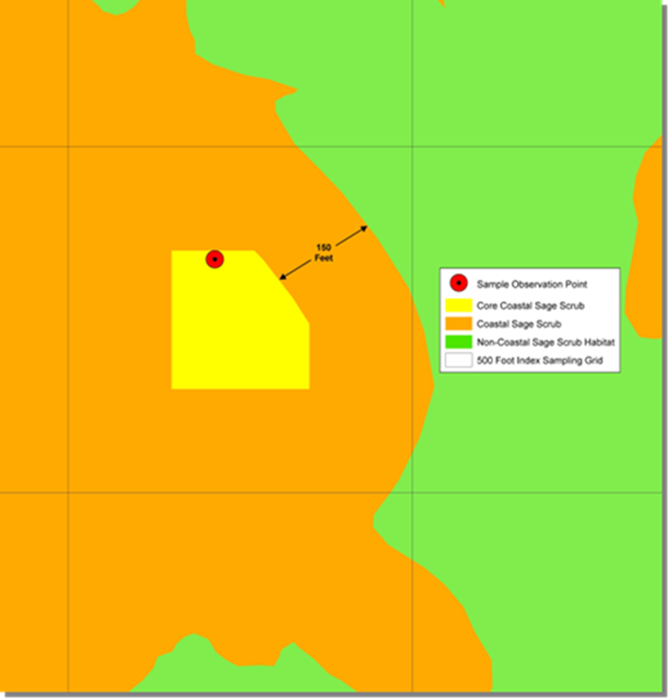
For the California gnatcatcher, a federally listed bird species, we use what is called a spatially balanced sampling protocol. We begin with a distribution map of coastal sage scrub (the preferred habitat of the gnatcatcher) and use a geographic information systems (GIS) tool with a set of specified criteria to generate a non-biased sample point. The figure linked HERE illustrates what a single selected point looks like in GIS.
To date, we have 76 such points located on the Nature Reserve and adjacent County parks. These points are visited every three years. In the first and second year of the protocol, surveys for the gnatcatcher are conducted consisting of 10-minute point counts of all bird species within 150 meters of the sample point. In the first year only, vegetation monitoring is conducted. This consists of (1) measuring species cover using point-intercept transects; (2) a species inventory within a 20 square meter square to measure species richness; and (3) a qualitative assessment of disturbance in the monitoring site.
By employing these mindful observations each time we monitor gnatcatchers, we are able to build a trend analysis that shows us how the population is doing over time.

